
The Hidden Risks of Skipping a Topographical Survey
Published on March 29, 2026
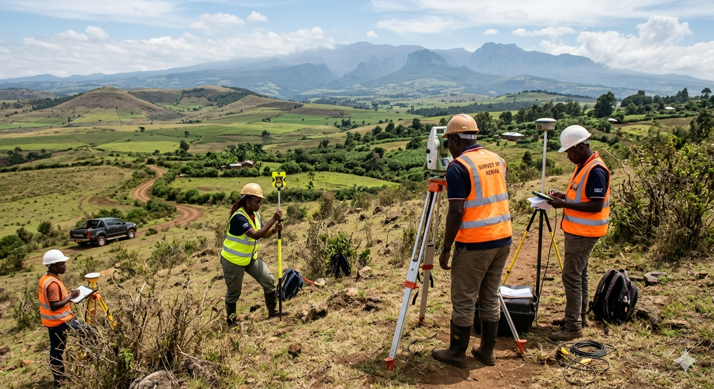
When embarking on a new construction project, it is tempting to rush through the planning phase to get shovels in the ground. However, skipping a proper topographical survey is one of the most expensive mistakes a developer can make.
What is a Topographical Survey? Unlike a boundary survey that simply marks where your property lines are, a "topo" survey maps the exact contours, elevations, and features of the land. This includes natural features (trees, rivers, slopes) and man-made features (existing buildings, utilities, fences).
Why is it Critical Before Construction?
-
Drainage Planning: Water always flows to the lowest point. Without an accurate elevation map, your new foundation could easily become a flood zone during the rainy season.
-
Accurate Earthwork Estimation: If your site requires leveling, the topo survey tells your contractor exactly how much dirt needs to be excavated or brought in. Guessing this volume can throw your budget off by millions of shillings.
-
Architectural Accuracy: Architects use our 3D topographical maps as the foundational layer in their CAD software. Designing a flat building for a sloping plot without this data leads to structural failures.
At Geoversailles Limited, our surveying teams use state-of-the-art Total Stations and RTK GPS rovers to map your site down to the millimeter, ensuring your architects and engineers have a flawless blueprint to work from.