
Drone Mapping
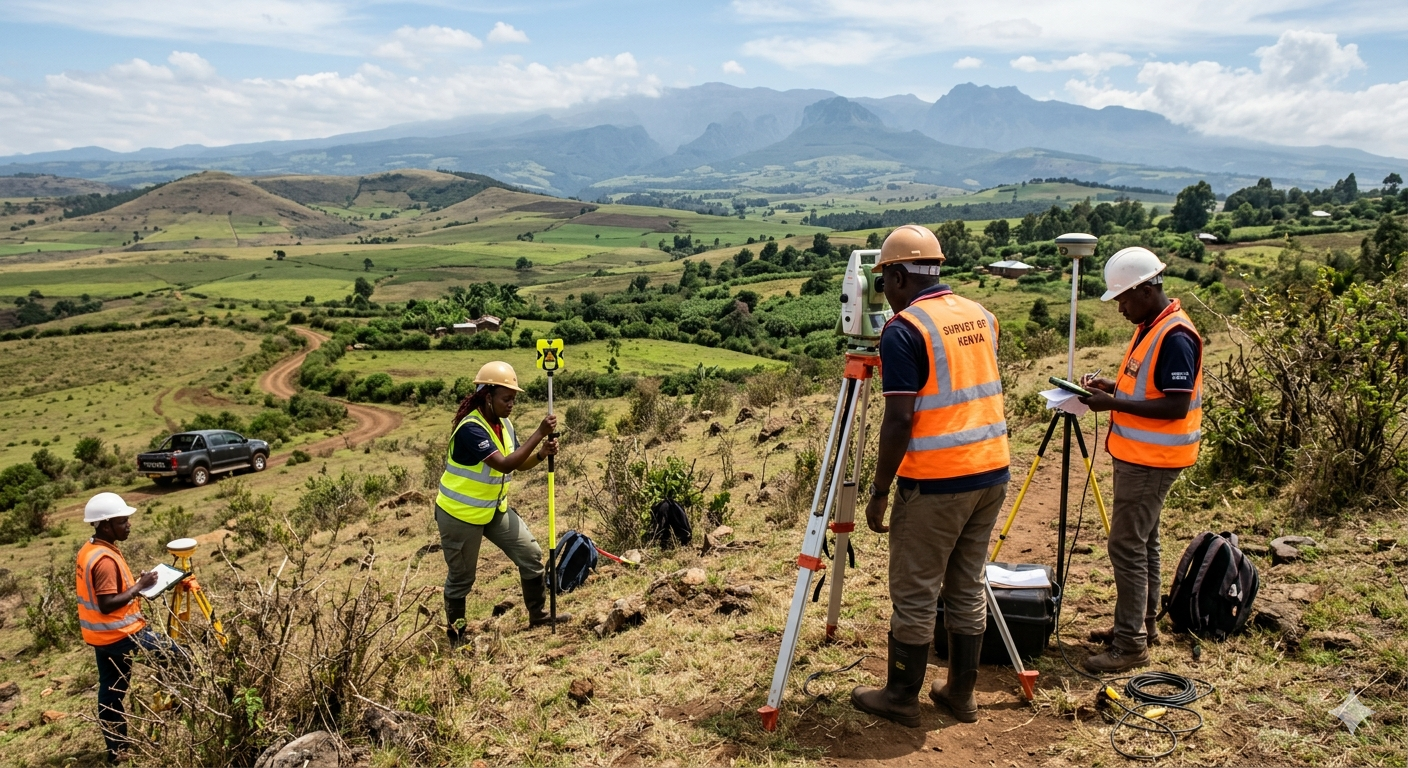
Surveying from a New Perspective Modern land development requires speed without sacrificing accuracy. Geoversailles Limited leverages advanced Unmanned Aerial Vehicle (UAV) technology to capture hundreds of overlapping, high-resolution images of your site, stitching them together into actionable engineering data.
Why Choose Drone Mapping?
-
Unmatched Efficiency: Large tracts of land that would take weeks to survey on foot can be comprehensively mapped in a single afternoon.
-
Cost-Effective Operations: Reduced time in the field translates directly to lower operational costs for your project.
-
Access to Hazardous Terrain: Drones easily and safely map steep escarpments, dense vegetation, and swampy areas that are dangerous for ground crews.
-
Rich Visual Data: Beyond traditional line maps, you receive a highly detailed, photorealistic 3D model of your site for enhanced visual planning and stakeholder presentations.
From agricultural subdivisions in the Rift Valley to complex urban developments, our drone fleet provides the ultimate bird's-eye view.