
3D Laser Scanning & As-Built Surveys
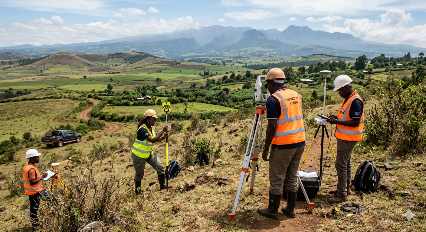
Digital Twins for Precision Engineering When renovating an existing building, upgrading an industrial plant, or preserving a heritage site, relying on outdated 2D blueprints is a massive risk. Geoversailles utilizes terrestrial 3D Laser Scanning (LiDAR) to capture the exact geometry of any environment in minutes.
The Power of Point Cloud Data:
-
Flawless As-Built Records: We capture millions of data points per second to create a highly accurate "digital twin" of your existing structure.
-
Clash Detection: By importing our 3D models into BIM (Building Information Modeling) software, architects can design new MEP (Mechanical, Electrical, Plumbing) systems and detect physical clashes before construction begins.
-
Complex Architecture: Easily map curved walls, intricate facades, and inaccessible structural elements that are impossible to measure with a tape measure.
Eliminate the guesswork and costly rework during renovations by starting with a perfect 3D baseline of your existing infrastructure.