
Topographical Surveys
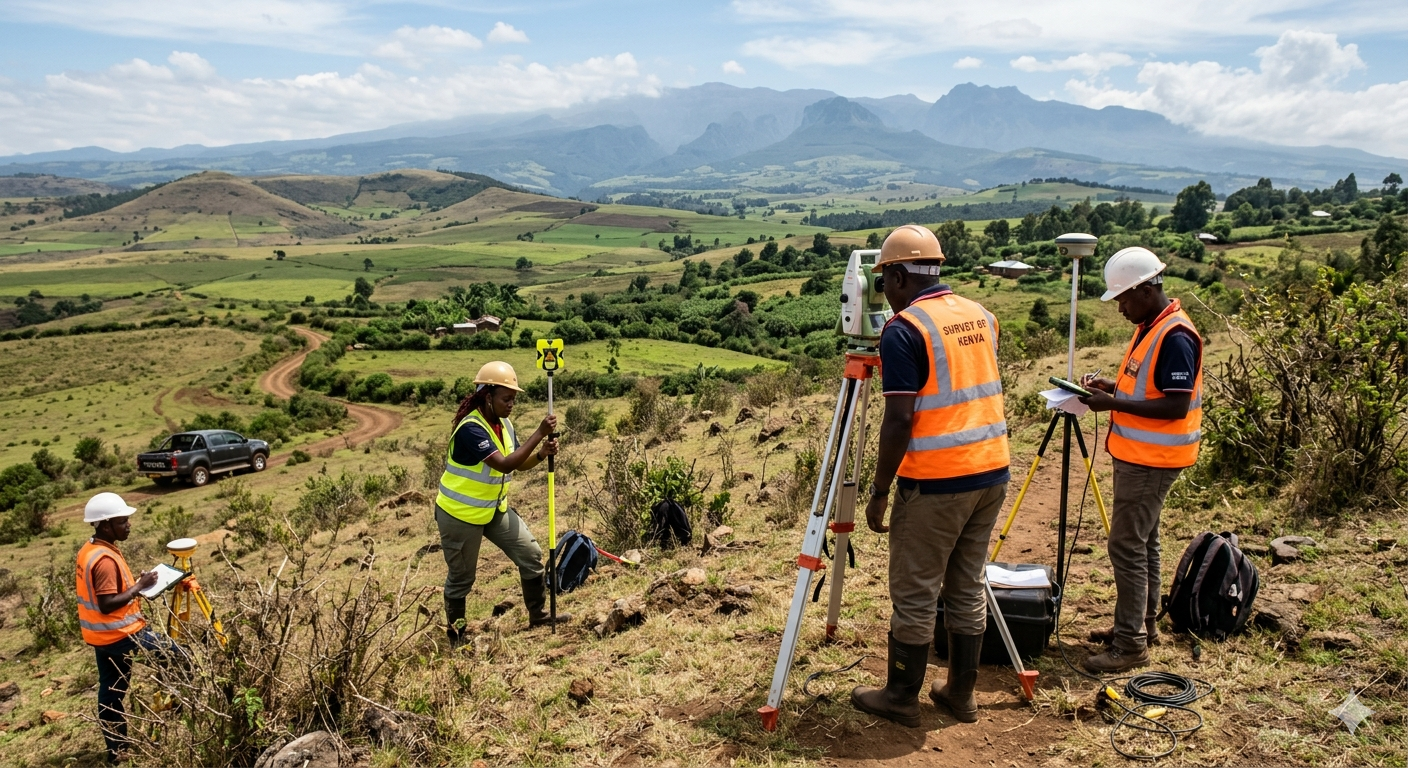
A successful project begins long before the first brick is laid; it begins with an exact understanding of the land. Our topographical surveys provide a highly accurate, three-dimensional representation of your site's natural and man-made features.
Our Topographical Surveying Process Includes:
-
Elevation & Contour Mapping: Crucial for accurate drainage planning and preventing flood risks.
-
Existing Feature Location: Pinpointing trees, utility lines, adjacent structures, and property boundaries.
-
Earthwork Estimation: Providing exact volume calculations so contractors know precisely how much soil needs to be excavated or imported, saving you millions in budget overruns.
-
Architectural Integration: Delivering data in AutoCAD and Civil 3D formats so your architects can immediately begin designing on a verified digital canvas.
Using state-of-the-art RTK GPS rovers and Robotic Total Stations, Geoversailles ensures your project is built on data you can trust down to the millimeter.