
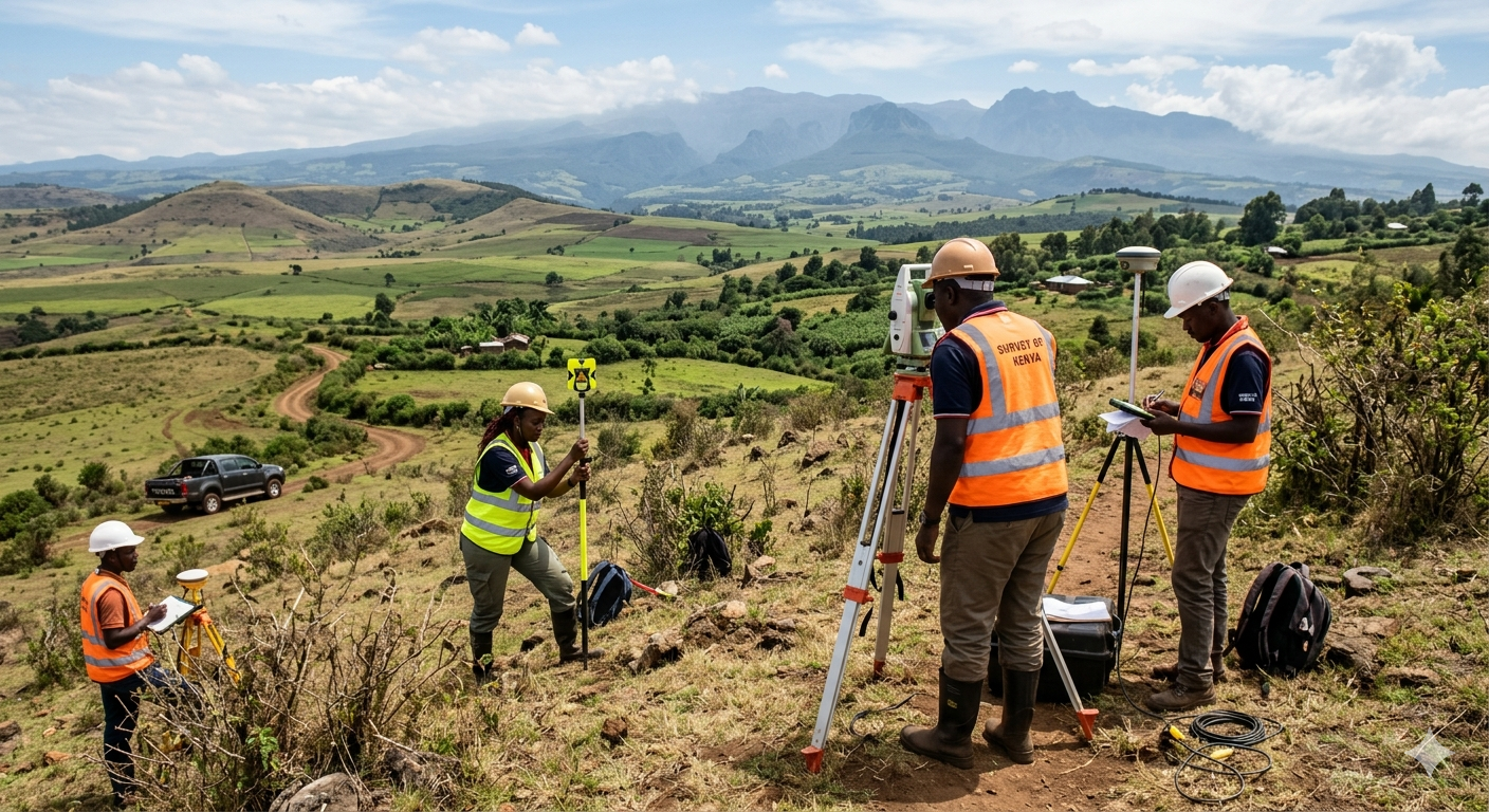
About Geoversailles
Geoversailles Limited is a premier land surveying, urban planning, and environmental consulting firm in Kenya. We are dedicated to providing precise, legally compliant, and highly sustainable solutions that empower property developers, architects, and private landowners to build the future with absolute confidence.
Explore our services
What We Offer
Trusted by hundreds of clients across Kenya to deliver precise, professional, and reliable land surveying and urban planning solutions.






Read more about our services
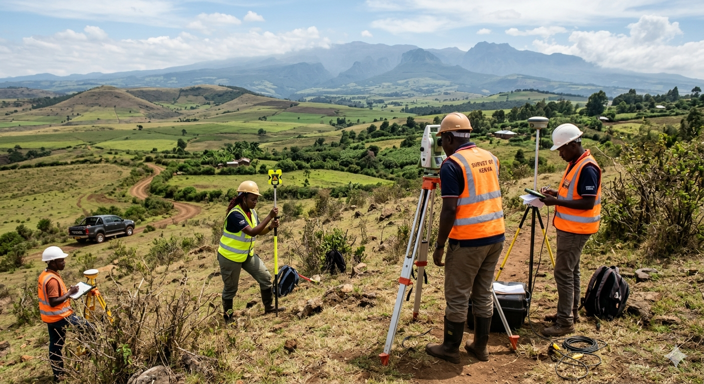
Drone Mapping
Rapid, high-resolution aerial surveying that delivers centimeter-accurate 3D models, point clouds, and orthomosaic maps in …
Learn More →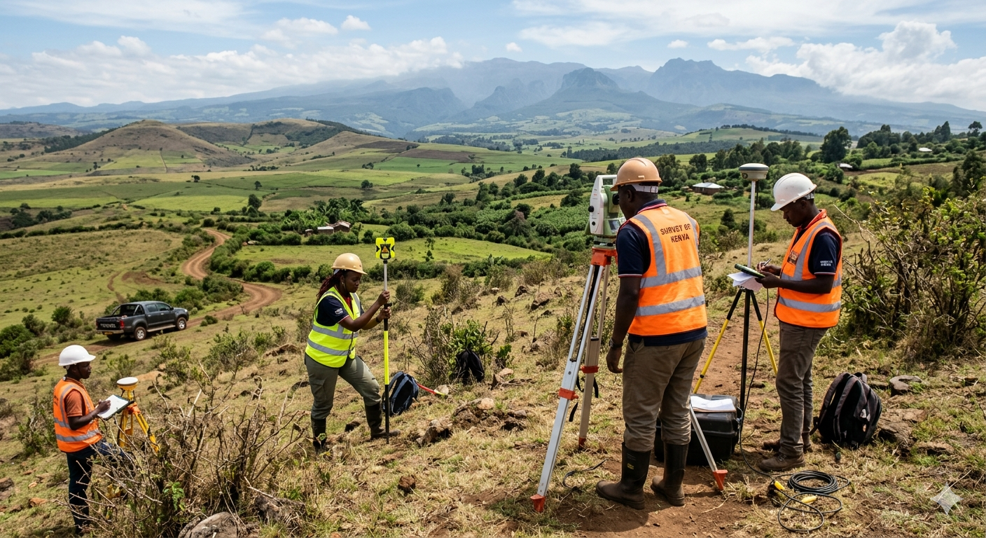
Topographical Surveys
Precise mapping of land contours, elevations, and existing features to form the flawless foundation of …
Learn More →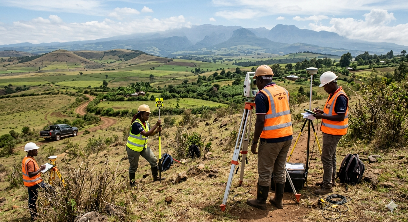
Urban & Regional Planning
Comprehensive master planning, land subdivision, and zoning strategies that transform raw land into sustainable, compliant, …
Learn More →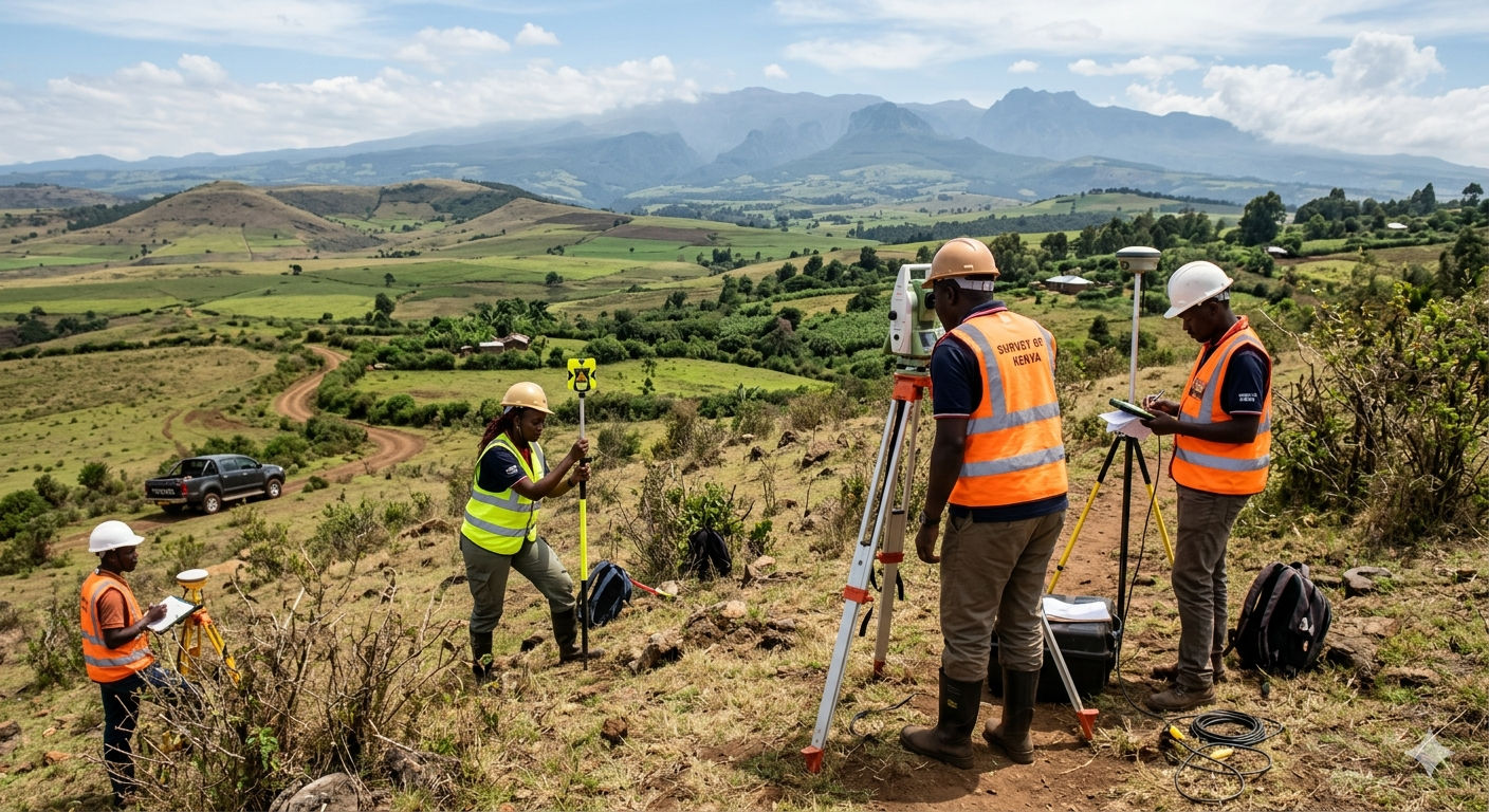
Environmental Social Impact Assessments (ESIA)
Certified NEMA compliance assessments and environmental audits to ensure your project is sustainable, socially responsible, …
Learn More →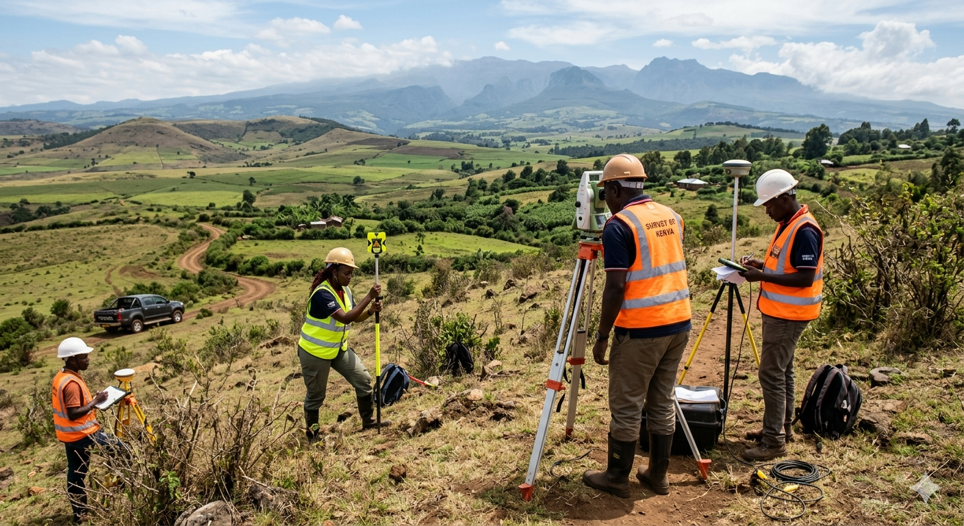
Land Conveyancing & Boundary Legalities
Expert legal surveying to resolve boundary disputes, conduct beacon re-establishments, process lease extensions, and facilitate …
Learn More →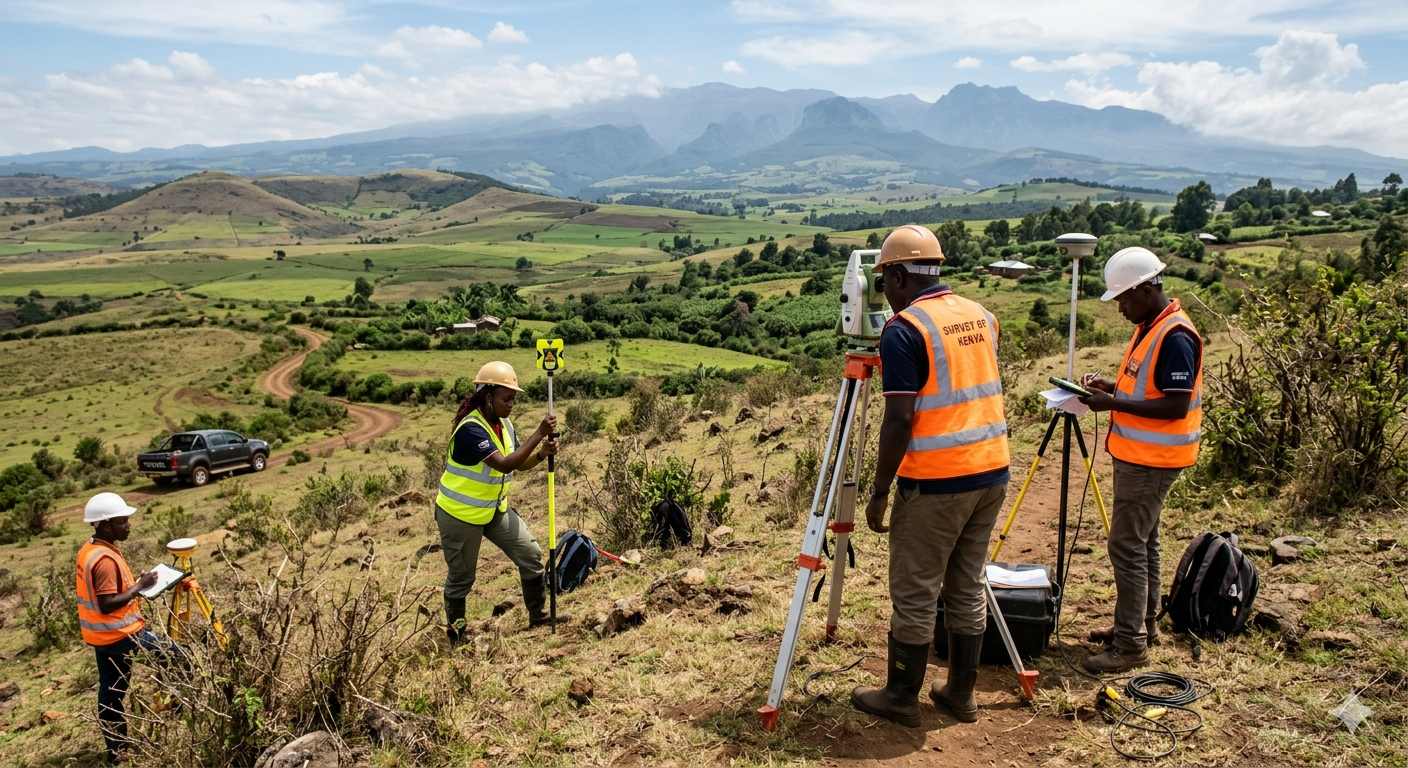
3D Laser Scanning & As-Built Surveys
Millimeter-accurate LiDAR scanning of existing structures and heritage sites to create flawless digital twins for …
Learn More →Non Destructive Testing (NDT)
Assessing the condition, strength and integrity of existing structures without causing any damage.
Learn More →What Our Clients Say
"Geoversailles handled our land subdivision and ESIA with utmost professionalism. They saved us months of paperwork."
John Doe
Property Developer"Their drone mapping technology gave us incredibly accurate topographical data for our new construction site."
Sarah Wanjiku
Lead Architect"The team made the lease extension process completely stress-free. From legal conveyancing to final approvals."
Michael O.
Private Landowner"Incredible attention to detail during our environmental audit. They made sure we were fully compliant with NEMA regulations."
David K.
Operations Manager"Fast, accurate, and very communicative. The 3D laser scanning they provided gave us a perfect baseline for renovations."
Grace Mutua
Civil Engineer"Their master planning capabilities completely transformed our new estate layout. Highly recommended."
James Ochieng
Real Estate InvestorHave you worked with us?
Leave a reviewWhat’s Happening at Geoversailles
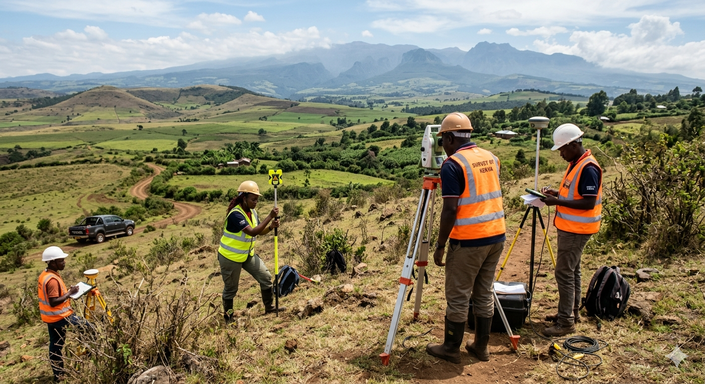
How to Prevent and Resolve Land Boundary Disputes in Kenya
Boundary disputes are one of the most common—and most stressful—issues a landowner …
Read Article →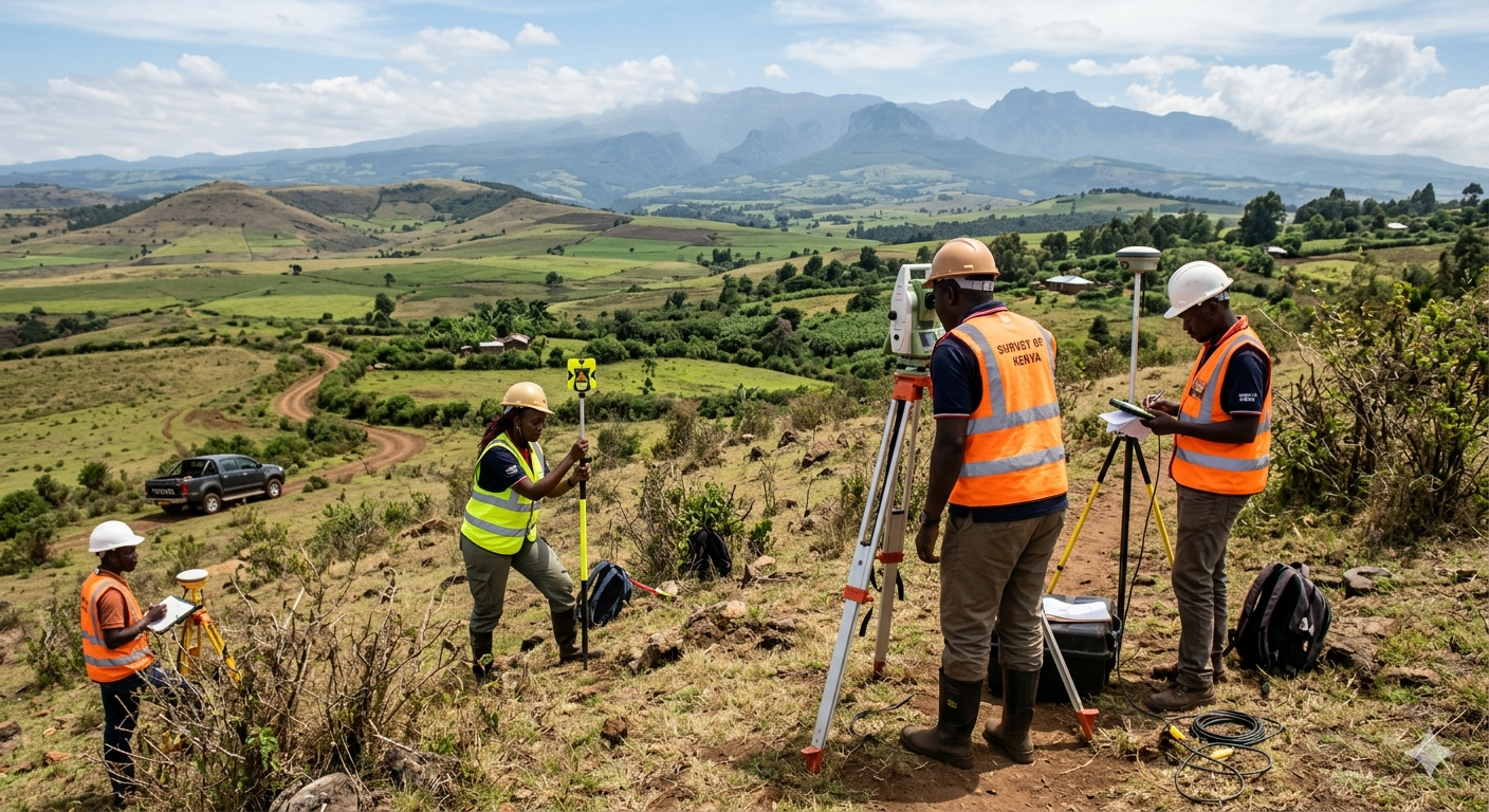
The Future of Urban Planning: Building Sustainable Estates in Kenya
As Kenya’s population continues to grow and urbanize, the pressure on land …
Read Article →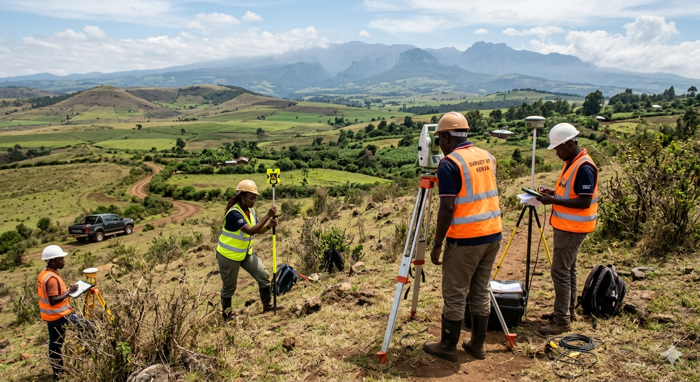
The Hidden Risks of Skipping a Topographical Survey
When embarking on a new construction project, it is tempting to rush …
Read Article →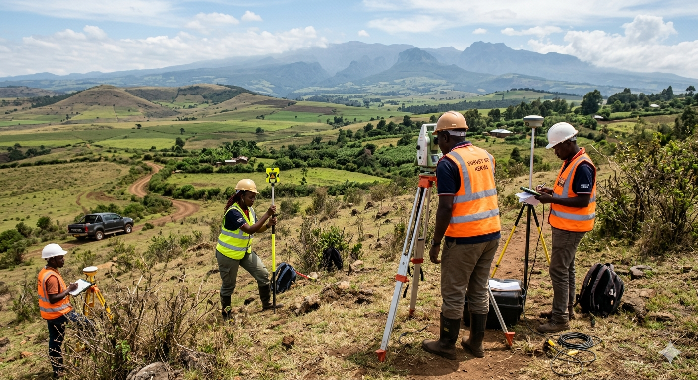
A Step-by-Step Guide to Land Subdivision in Kenya
Subdividing land is one of the most profitable ways to maximize the …
Read Article →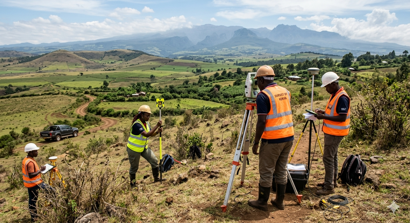
Navigating NEMA: Why Your Next Project Needs an ESIA
If you are planning a major construction, industrial, or agricultural project in …
Read Article →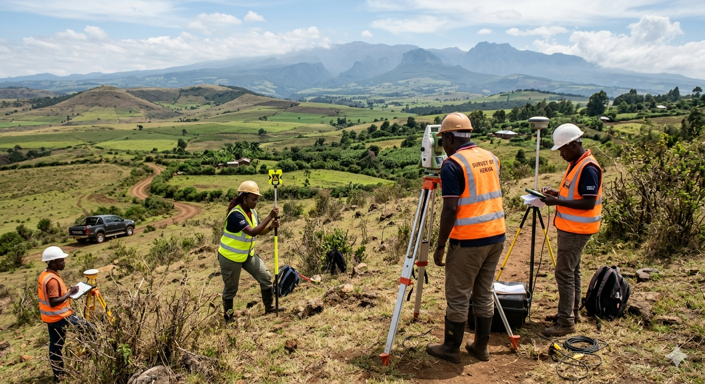
How Drone Mapping is Revolutionizing Land Surveying in Kenya
The landscape of urban planning and land development in Kenya is changing …
Read Article →