
How Drone Mapping is Revolutionizing Land Surveying in Kenya
Published on March 29, 2026
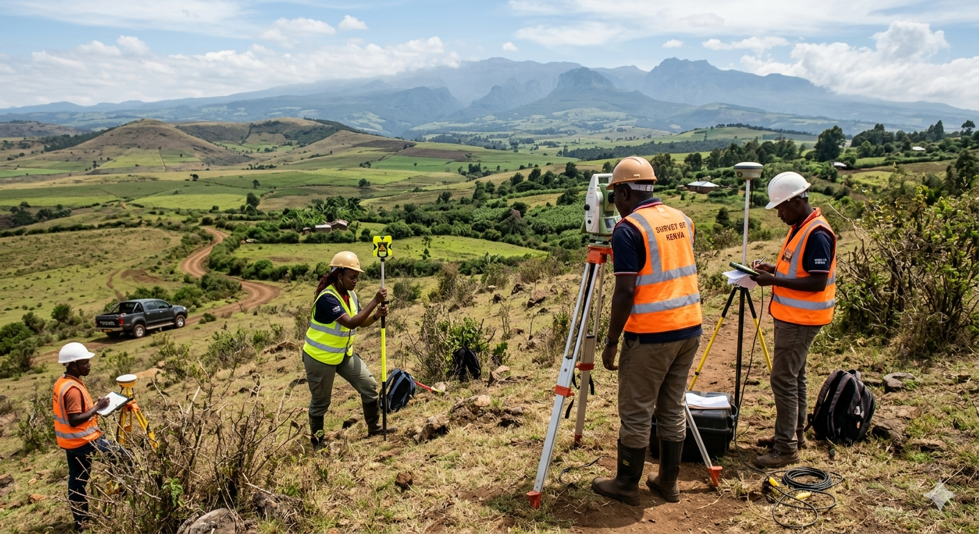
The landscape of urban planning and land development in Kenya is changing rapidly. For decades, topographical surveys required days or even weeks of manual field operations. Today, Geoversailles Limited is leveraging advanced UAV (Unmanned Aerial Vehicle) technology to deliver results in a fraction of the time.
What is Drone Mapping? Drone mapping, or photogrammetry, involves flying a drone over a parcel of land to capture hundreds of high-resolution images. These images are then stitched together using specialized software to create highly accurate 3D models and topographical maps.
Key Benefits for Developers:
-
Unmatched Speed: What used to take a week on foot can now be surveyed in a single afternoon.
-
Cost-Effective: Less time in the field means lower operational costs, savings we pass directly to our clients.
-
Inaccessible Terrain: Drones can easily map steep cliffs, dense forests, or swampy areas that are dangerous or impossible for ground crews to reach.
-
High Accuracy: Modern RTK (Real-Time Kinematic) drones provide centimeter-level accuracy, perfect for precise architectural planning.
Whether you are planning a massive agricultural subdivision in the Rift Valley or a complex commercial development in Nairobi, drone mapping provides the crucial data you need to start your project on the right foot. Contact Geoversailles today to see our fleet in action!